Site photogrammetry
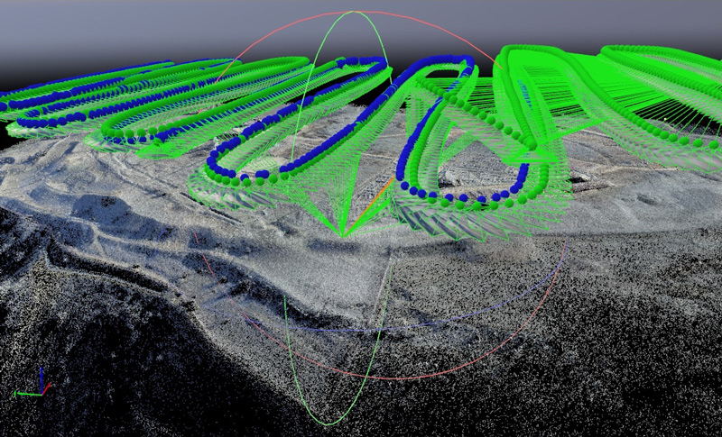
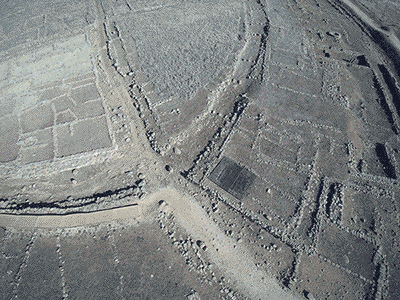
Photogrammetry of the Cerro de la Muela furnishes us with a working tool for obtaining linear, surface and volume measurements of all types. This involved a complete, end-to-end overflight plus several partial flights with a total of 1751 photograms at three different heights. The first flight covered the whole area at a height of 40 m. This was followed by 20-m-high flights over the western part of the city, containing the highest density of excavated area. Finally a 10-m-high flight was made for detailed documentation of some houses. The images were processed with a CPU Intel© Core™ 17-6700 @ 3.40 GHz RAM 64 GB with Windows 7 Professional.
Images were captured with a DJI Mavic Pro drone and built-in camera that proved, in the maiden flights, that had enough clarity for the results we wanted to achieve.
In the image processing phase, with a mean overlap of 30%, we worked with Pix4D to obtain the photogrammetric model, generating a high-density points cloud to build up the Digital Surface Models (DSM), and Digital Terrain Models (DTM).
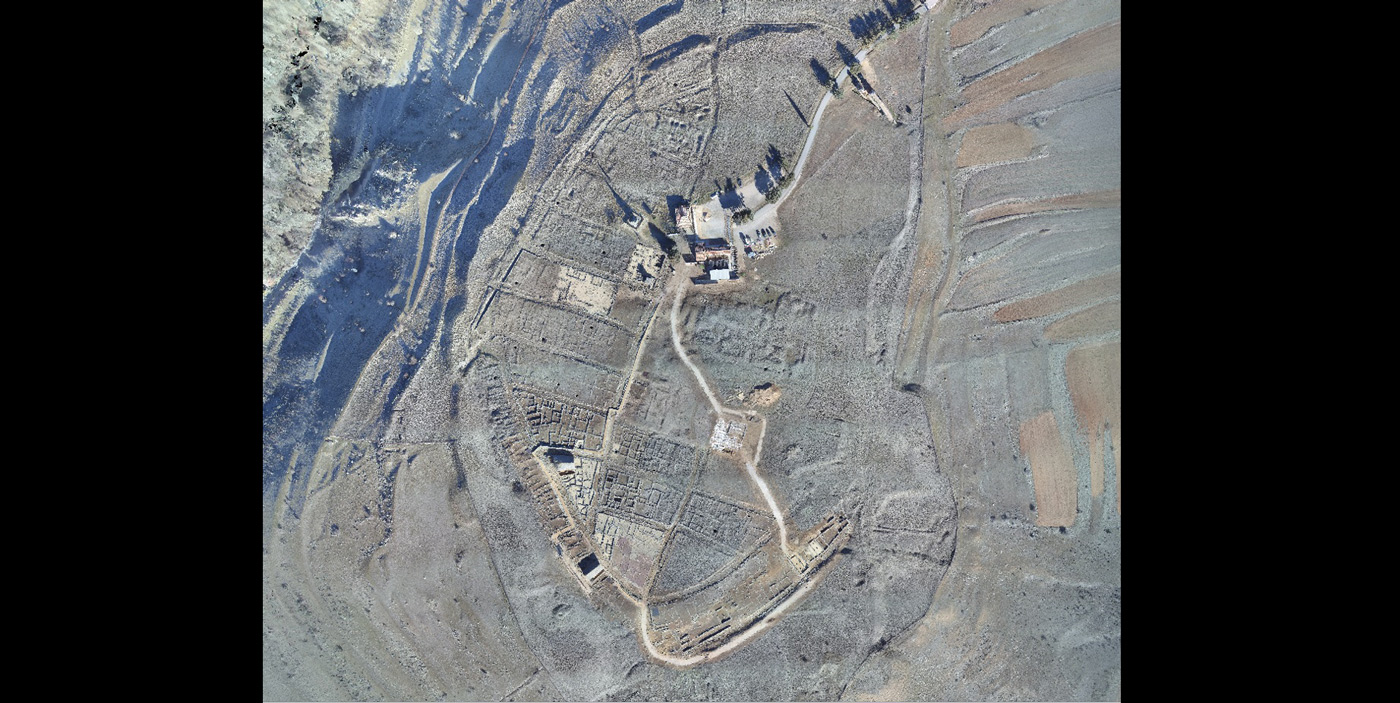
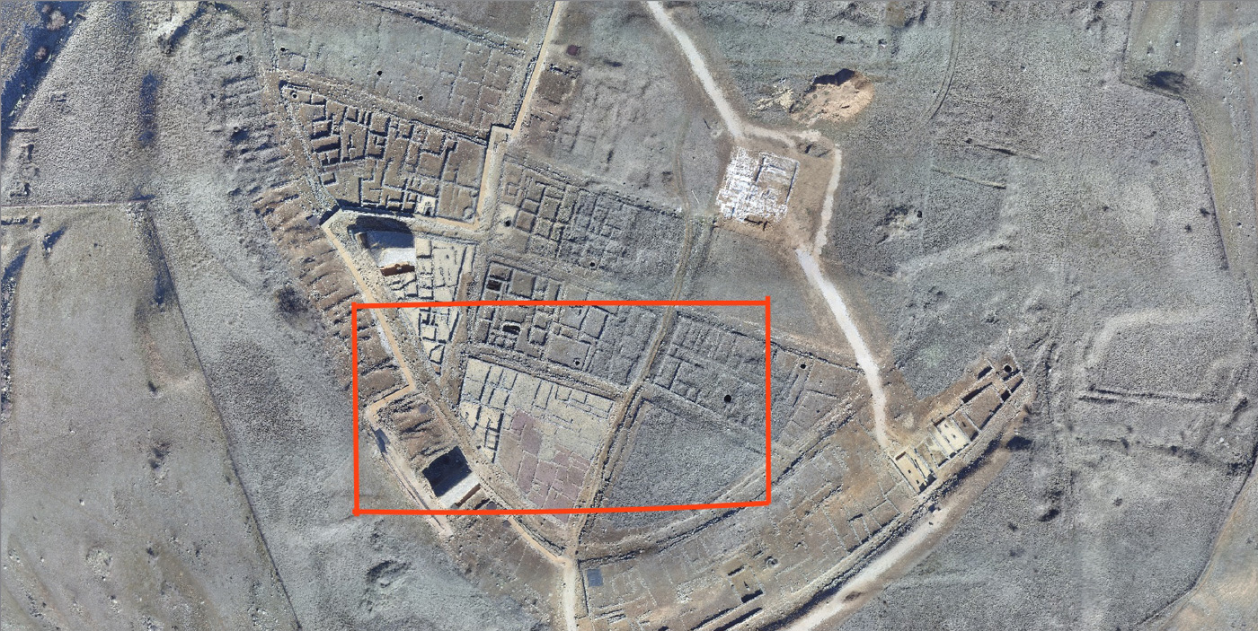
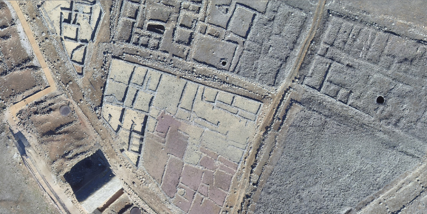
These clearly showed up in hypsometric colours the declines and falls of water on the surface and on the city streets. These surface models then served as the basis for drawing up contoured plans. In the following image, we supply the download of the file as well as a viewer, which allows taking measures of the archaeological site.
In post processing the Pix4D-generated files were combined with other programs to obtain diverse results. Contour lines were processed from DWG files in Rhino and AutoCAD. OBJ files were processed with Blender, ZBrush and basic Sketchfab tools to optimise their display. This latter programme was the platform used for edition thereof in the multimedia book, as we had been using it in similar work.
Fortunately, Numantia has one of Spain’s most photo-graphed sites for over one hundred years. This made it possible to superimpose photographs and plans from different eras and crosscheck them against the current photogram-metric model. This bore out the 1921 plan of the architect Aníbal Álvarez and the 1919 airborne photo of the aviators Gallarza and Victoria against the topographic and photogrammetric surveys of more recent times.
The possibility of publishing a 3D model of the Cerro de la Muela (Numantia) has been rounded out with some objects found in ancient digs, which we have been able to reproduce in 3D thanks to the collaboration of the Numantine Museum. Icons of the Real Academia de Bellas Artes de San Fernando were used to facilitate access to the incorporated multimedia contents.
Gallery of chapter images